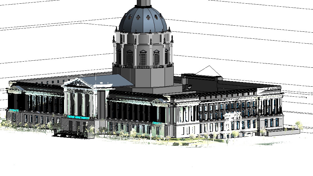
PORT of San Francisco, - Pier 19 Apron Preliminary Design Improvements - Structural Design CAD support
Port of San Francisco Seawall Study - Birdseye view of utilities delineated in Civil 3D and then exported to InfraWorks
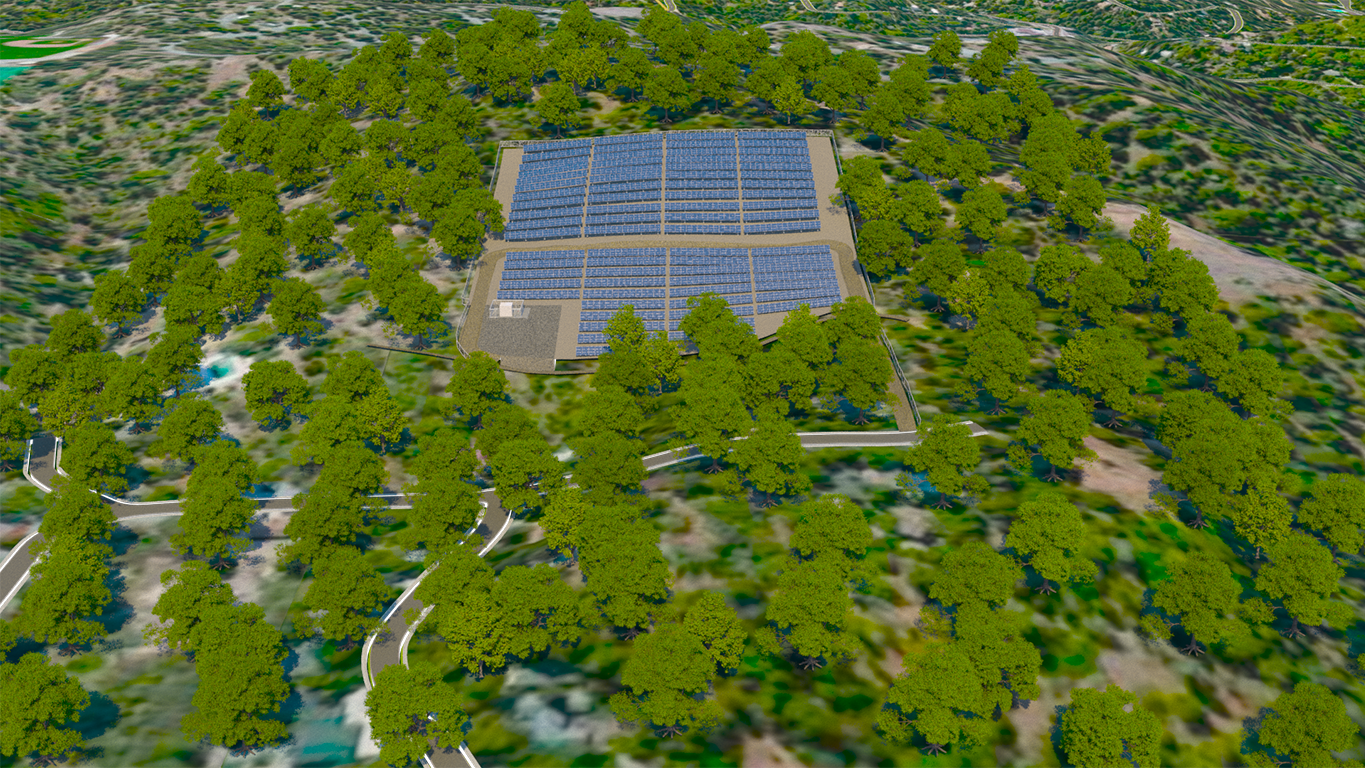
10MW Solar PV Farm - CDS provided design support for the Civil Site Layout
10MW Solar PV Farm - Site access road alignment with Grading
3D Model of 10MegaWatt Solar PV Farm
Transportation Projects - BART, Caltrain, Union Pacific Railroad - CDS provided Construction Field CAD support
Civil Design support for City of San Francisco Lakes and Parks renovations
Project Site Slope Analysis - Civil 3D Terrain Model from Ground Survey
CDS provided Airport Layout Plan (ALP) graphics and also worked with the Engineers to produce Airport Improvement Plans for several Municipal Airports


